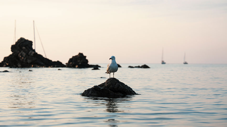
Cala des Bot
Algaiarens: Second part
If you have read about Algairens before, you will know that it is divided in two by the central reefs that rest in its waters: one of these beaches is Es Tancats and the other is Es Bot.
The first is more accessible (as it is closer to the Algaiarens parking lot), but to get to the second one you only have to walk 1 km. A pleasant route that runs through pine forests, fields and dunes that offer the most picturesque scenery that will liven up the journey.
Pure nature that we will cross to reach this small beach of white sand and clear waters, where there is no trace of civilization, except for the traditional white houses, which served as shelter for the small boats of fishermen and locals who came to spend the weekends there to enjoy the purest taste of the Mediterranean.

Name: Es Bot beach
Location: Southern Zone III (39°56’00.7 “N 3°58’18.0 “E)
Distance from Mahón: 30’9 MN / 52 km
Time from Mahón: 2h 5 min by boat (average speed: 15 knots) / 55 min by car
Type of beach: Sand
Anchoring with boat: Sand. Exposed to N and NW
Posidonia: Yes
Dangerous access by boat: Low. Presence of some pitfalls. Open to the Tramontana.
Nearest gas station for boats: 10 MN, Port of Ciutadella
SERVICES

NO SERVICES

PARKING

WALK 1 Km
FONDEADERO
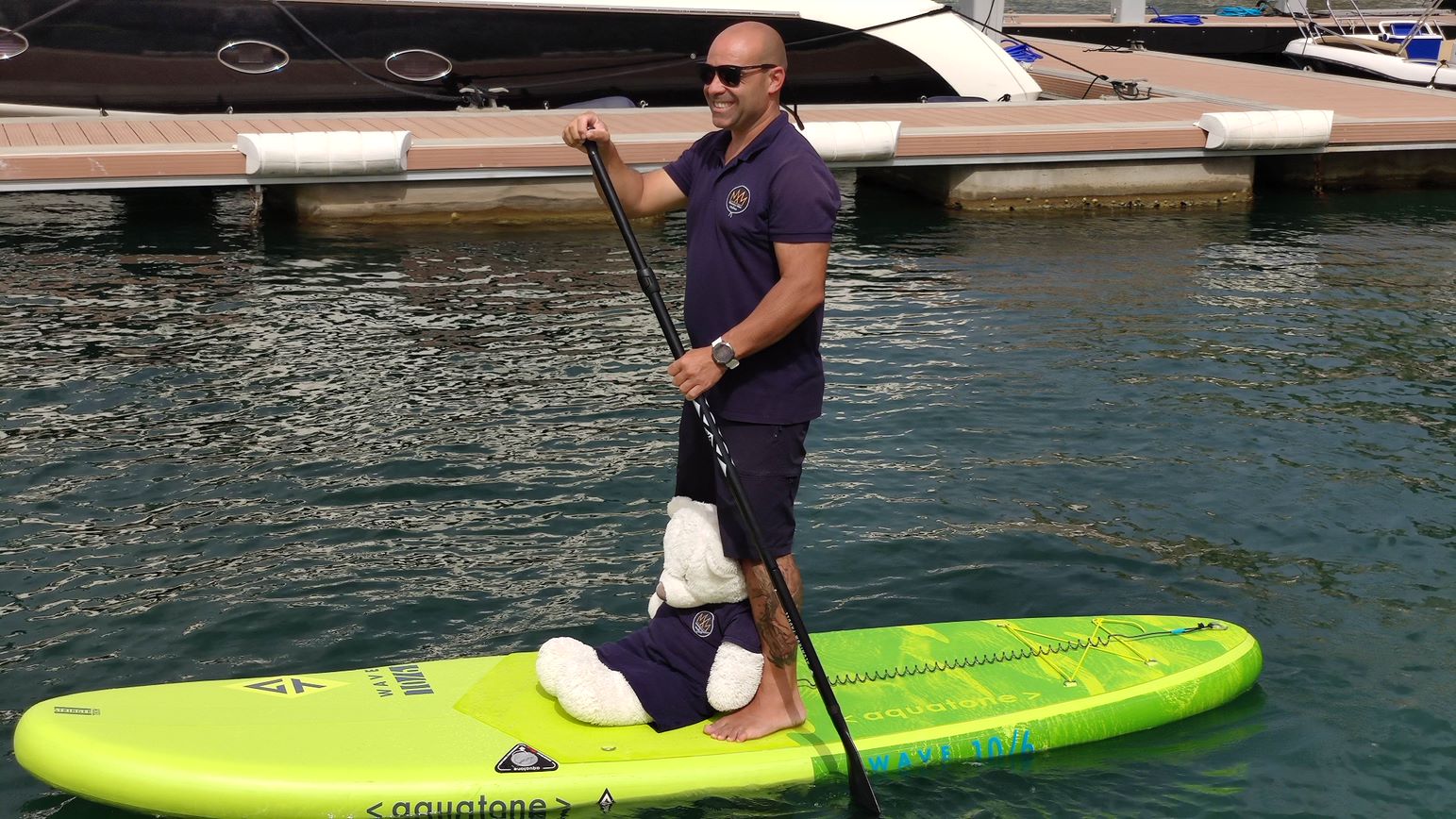
PADDLE SURF RENTAL
Discover the secret corners and beaches of Menorca!
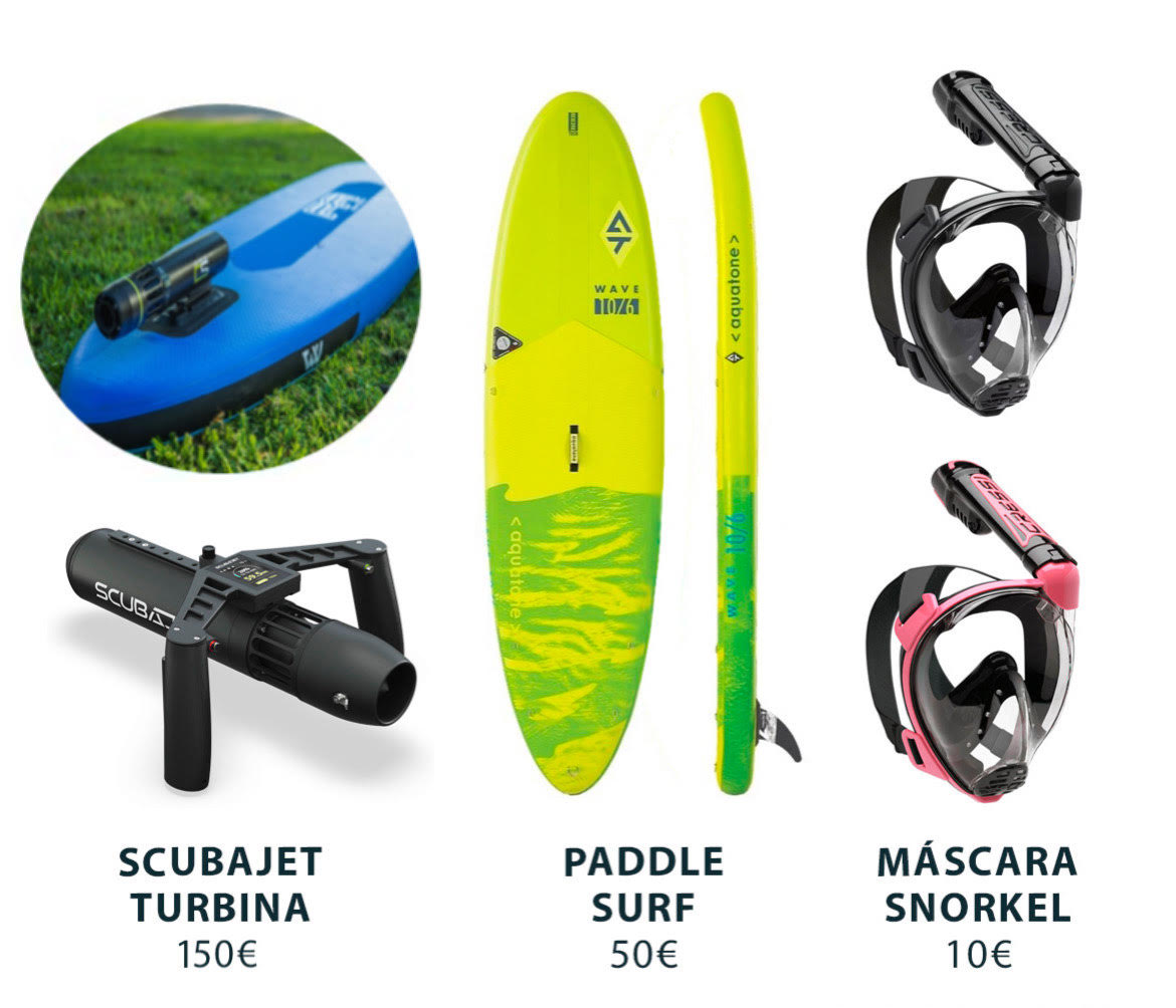
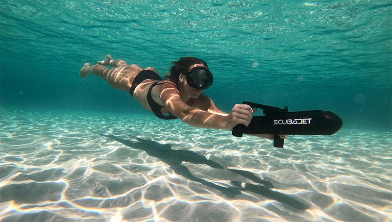
RENT SCUBAJET
Explore the seabed with the Scubajet thruster. Expand your possibilities of use by motorizing your paddle surf.
Cala des Bot in Menorca, how to get there?
Reaching it is not complicated, although you will have to walk a little more than in the case of its neighbor Es Tancats.
If we come from Mahón by car, we will have to take the Me-1 and take the first exit towards the RC-1 ring road. Following the signs that lead to Cala Morell and Algaiarens, we will find without problem the parking lot that is just before reaching this beach.
From there, the route is about 250 meters on foot to reach Es Tancats (if we take the path on the left from the parking lot) and 1 km more to reach Es Bot. (following the path that opens to the right).
We will make this last part of the crossing always with the pine forest on our left. The trail will start to narrow and we will reach a river that we will have to cross to get to the beach.

Services near Es Bot beach
NO NEARBY SERVICES*.
*We consider them “close” if they are within a radius of 250-300 m approx.
What to see near Platja des Bot?
Es Bot has a life of its own
This beach has no nearby services, but we will not need them to have a good time here. Its privileged environment, of unparalleled beauty, is home to life in all its forms.
Particularly striking is the nearby presence of the La Vall river, which flows into the back of the beach in the form of a wetland where numerous species find a home. Among them are the water turtles, which do not hide from the gaze of tourists, and the presence of small ovoviviparous fish, brought from South America to reduce the presence of mosquitoes in the area (as they feed on the larvae that live in its waters).
If we are interested in the naturejust a walk around Es Bot will be an incomparable plan.
How to get to Platja des Bot by boat?
To get to Cala Carbó, we will set sail from the port of Mahón in a SE direction, leaving the dock to starboard. We will continue through the port until we reach the open sea (up to Punta de Sant Carles).
At this point, we will leave the San Carlos lighthouse to starboard, and continue to port along the coast (heading NE) where we will pass La Mola and Punta de S’Espero, to continue in a NW direction (always sailing with the coast to port).
We will pass Cap Negre, Punta de Sa Galera and, finally, Punta de sa Cudia. On the port side we will see an inlet that leads to Es Grau and in front we will have Illa d’en Colom. We will have to overcome it leaving it on the port side and continue in a NW direction until we pass the Cap de Mossen Vives and the Escull den Tortuga. From the bow we will see the Cap de Favàritx and its unmistakable lighthouse.
Skirting the Favàritx point, we will advance in a NW direction until we see the Addaia islands. We will pass them on the port side and continue until we reach Punta Pantinat.
We will go around it and sail in a NW direction (passing Punta de na Guillemassa and Punta des Morter) until we reach Cap de Cavallería. We will border it passing between Illa d’els Porros (which will be on the starboard side) and Illot des Pas (which will be on the port side).
Once past the channel between the two, we will descend gently in a W direction. We will pass Illa Bledes, Illa des Coloms, Punta Cala Calde and Punta de s’Anticrist. Once we have passed the latter, we will find Cap Gros and Cap de Ferro. We will turn to head SW until we pass Punta Roja, after which we will continue to the S until we pass Punta des Liau, we will skirt its coast until we head E and, from the bow of the boat we will see Playa des Bot.
Do you want to go to Platja des Bot by boat?


