Cala Algaiarens – La Vall
A very accessible paradise
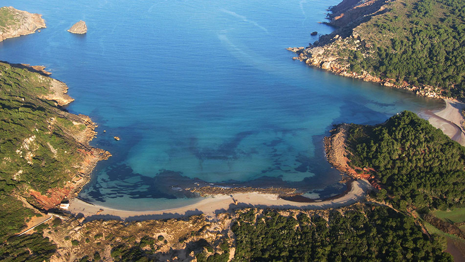
If you want to be able to visit one of those famous postcard beaches, the typical ones that everyone talks about when visiting Menorca (with its turquoise waters, white sand beaches and lush vegetation), but you don’t want to have to make long journeys to get there… congratulations! Because Algaiarens has it all.
The reefs that we find in its waters, divide the cove in two: Es Tancats and Es Bot, which are separated by the Puig Tremolor.
It is a magazine beach: its abundant fauna and flora (including its dunes and wetlands and the presence of posidonia), have led it to be part of the Natura 2000 Network and to be declared a Natural Area of Special Interest. In addition, access by land is easy and there is a free parking lot nearby that will allow us to drive almost to the beach itself.

Name: Cala Algaiarens – La Vall
Location: Northern Zone III (40°2.830’N 3°55.286’E)
Distance from Mahon: 31’1 MN / 51 km
Time from Mahón: 2h 35 min by boat (average speed: 15 knots) / 47 min by car
Type of beach: Sand
Anchoring with boat: Sand. Exposed to N and NW
Dangerous access by boat: Low. Presence of some pitfalls. Open to the Tramontana
Posidonia: Yes
Nearest gas station for boats: 10 MN, Port of Ciutadella
SERVICES

PARKING

WALK 250 m
FONDEADERO

NUDIST

RESCUE SERVICE

BATHROOMS
PADDLE SURF RENTAL
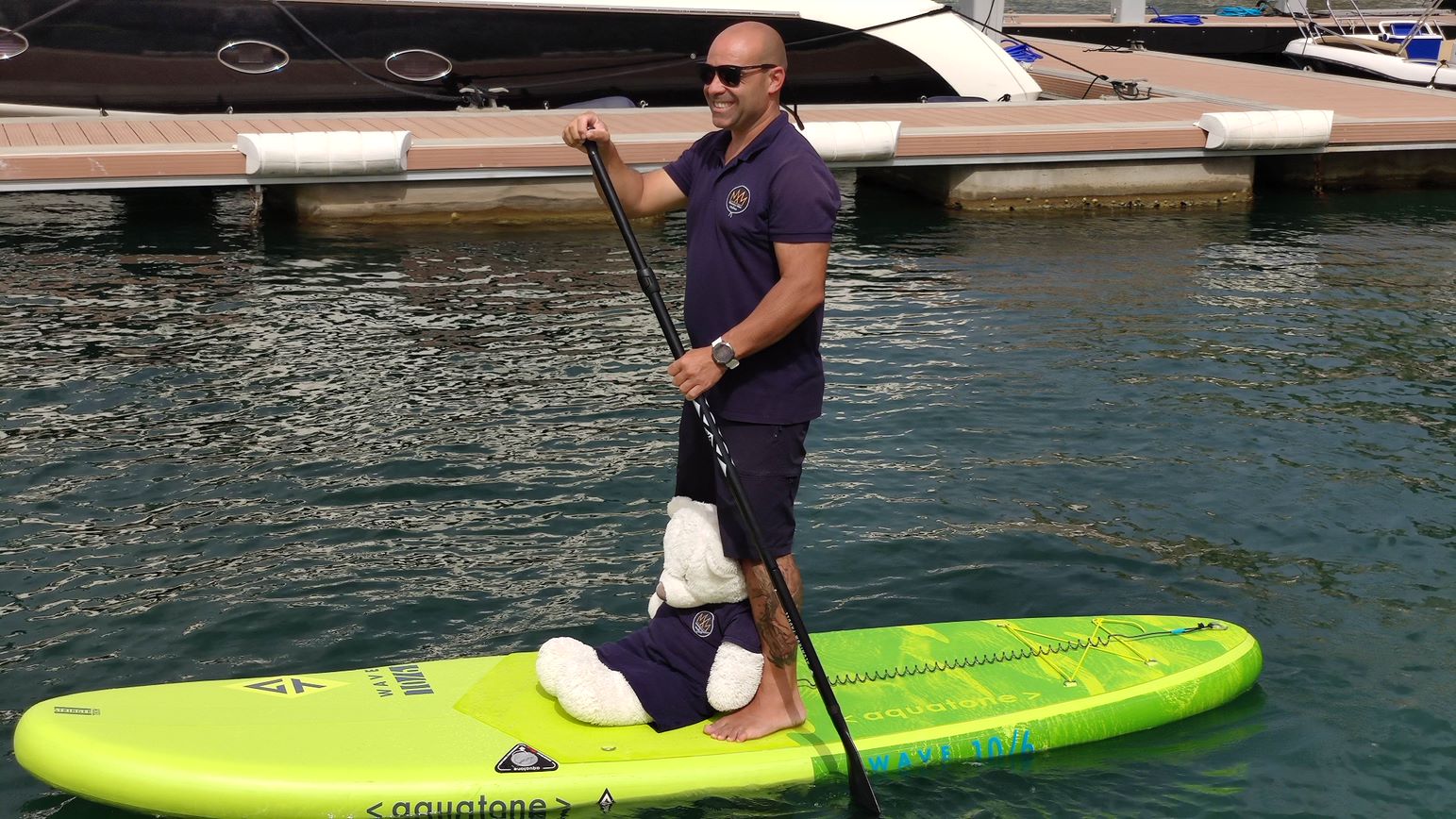
Discover the secret corners and beaches of Menorca!
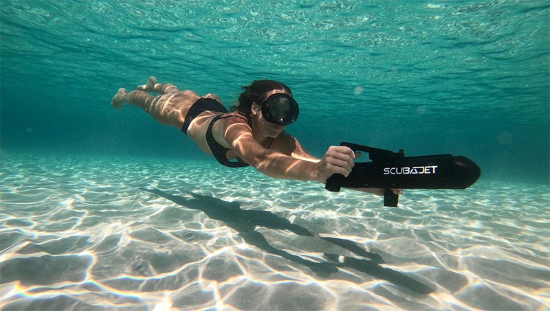
RENT SCUBAJET
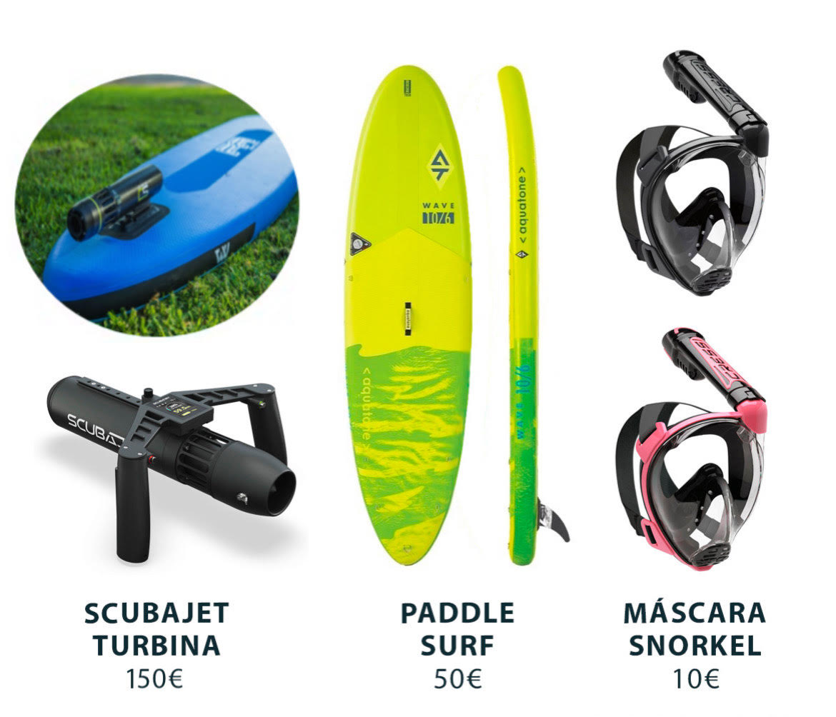
Explore the seabed with the Scubajet thruster. Expand your possibilities of use by motorizing your paddle surf.
Cala Algaiarens – La Vall in Menorca, how to get there?
As we have mentioned, access by land is relatively easy. If we come from Mahón by car, we will have to take the Me-1 and take the first exit towards the RC-1 ring road.
Following the signs that lead to Cala Morell and Algaiarens we will find without problem the cove and the parking lot that is just before reaching it. From there, the route is about 250 meters on foot and you will have to go down some stairs to access the beach.

Services near Algaiarens – La Vall
NO NEARBY SERVICES*.
*We consider them “close” if they are within a radius of 250-300 m approx.
What can we do in Cala Algaiarens – La Vall?
There are many activities that can be done both on the beach and in the surrounding area. In its waters we can practice water sports such as kayaking such as kayaking while, on land, hiking is always a good option.
In this sense, we are grateful for its proximity to the Camí de CavallsThis will allow us to reach it by following its paths, as well as to take them to get to know its surroundings. In its eighth stage, this road goes from Cala Morell to Algaiarens and, along the way, you can visit places such as Punta Roja, the Corniola cistern (ancient constructions used to collect water) or the fourteen caves of the necropolis of Cala Morell.
It is a relatively easy trail, which runs through wooded areas, with a duration of about 5.4 km and an estimated time of 90 minutes to complete the entire journey.
There are no services nearby, but the advantage of being able to reach it by car is that, after spending a pleasant day on the coast, we can move to Ciutadella (about 20 minutes away) and enjoy all the options it offers.
How to get to Cala Algaiarens – La Vall by boat?
To get to Cala Algaiarens, we will have to leave the port of Mahón with our boat heading SE, leaving the dock to starboard. We will continue through the port until we reach the open sea (up to Punta de Sant Carles).
At this point, we will leave the San Carlos lighthouse to starboard, and continue to port along the coast (heading NE) where we will pass La Mola and Punta de S’Espero, to continue in a NW direction (always sailing with the coast to port).
We will pass Cap Negre, Punta de Sa Galera and, finally, Punta de sa Cudia. On the port side we will see an inlet that leads to Es Grau and in front we will have Illa d’en Colom. We will have to overcome it leaving it on the port side and continue in a NW direction until we pass the Cap de Mossen Vives and the Escull den Tortuga. From the bow we will see the Cap de Favàritx and its unmistakable lighthouse.
Skirting the Favàritx point, we will advance in a NW direction until we see the Addaia islands. We will pass them on the port side and continue until we reach Punta Pantinat.
We will go around it and sail in a NW direction (passing Punta de na Guillemassa and Punta des Morter) until we reach Cap de Cavallería. We will border it passing between Illa d’els Porros (which will be on the starboard side) and Illot des Pas (which will be on the port side).
Once past the channel between the two, we will descend gently in a SW direction. We will leave behind Illa Bledes, Illa des Coloms, Punta Cala Calde and Punta de s’Anticrist. Once we have overcome the latter, we we will find Cap Gros and Cap de Ferro. We will turn to head SW until we pass Punta Roja, after which we will sail to the S until we leave Punta des Liau behind.
Heading SE we will reach Cala Algaiarens (located to the S of Punta des Liau).
Do you want to go to Cala Algaiarens – La Vall by boat?


