Cala Pregondó – S’Alairó – S’Embarcador
An ancient Roman port
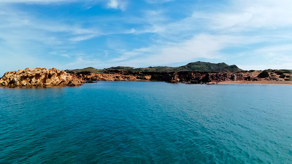
Just 250 meters from Pregonda beach, we find another of the most beautiful coves of the island: Pregondó cove.
It is common to find different names to designate this same beach. One of them is S’Embarcador and, in ancient times, the Romans used this cove as a port for merchandise.
Although Pregonda’s name resonates more, its neighbor receives more visits than Pregonda. Partly because it is first on the road, and partly because the similarity of their names is misleading. That is to say, many people who believe they have known Pregonda, actually enjoyed the waters of Pregondó without even knowing it.
In this cove, in addition to its color and beauty (which is exacerbated when the sun begins to set and the reddish and pink colors invade everything), highlights the presence of rocks (Esculls de Pregondó) near the shore and its dunes formed naturally by the erosion of the rocks surrounding the beach.
It is a place where it is common to find numerous boats at anchor and the spectacle is worth it.

Name: Beach of Pregondó – S‘Alairó – S’Embarcador
Location: Northern Zone III (40°3’15.39 “N 4°2’37.15 “E)
Distance from Mahón: 25 MN / 32 km
Time from Mahón: 1h 45 min by boat (average speed 15 knots) / 38 min by car
Type of beach: Sand
Anchoring with boat: Sand and stone. Open to the NE. Pay attention to the Sa Nau reef at the entrance.
Dangerous access by boat: Medium. It has an islet with a beach at its entrance and a 2.5m deep rocky bank. Open to the NE.
Posidonia: Yes
Nearest boat gas station: 8 MN, Puerto de Fornells
SERVICES

NO SERVICES

WALK 1.5 Km

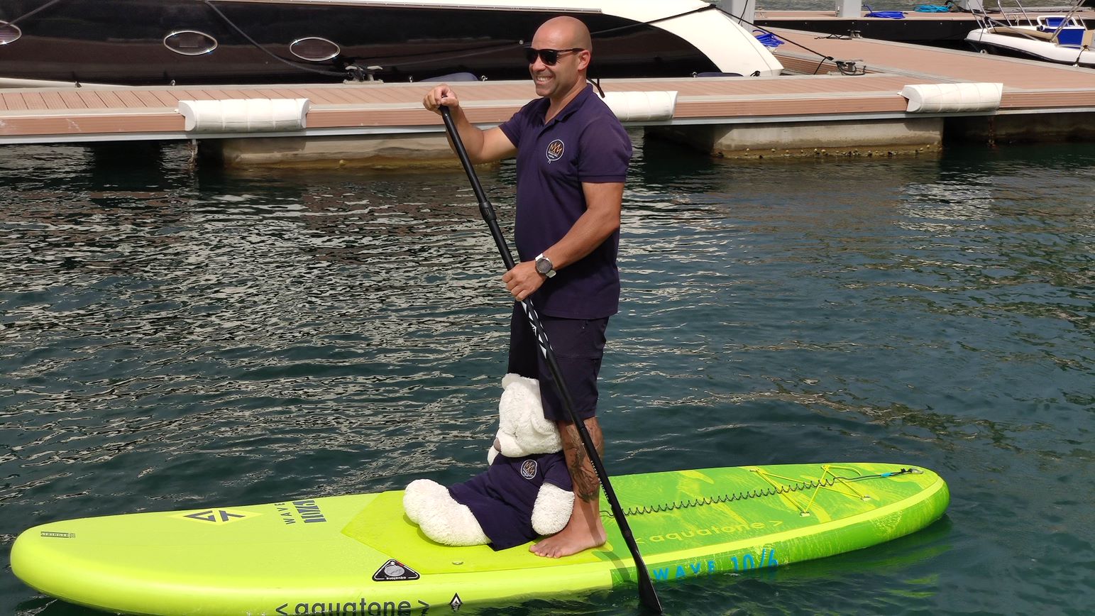
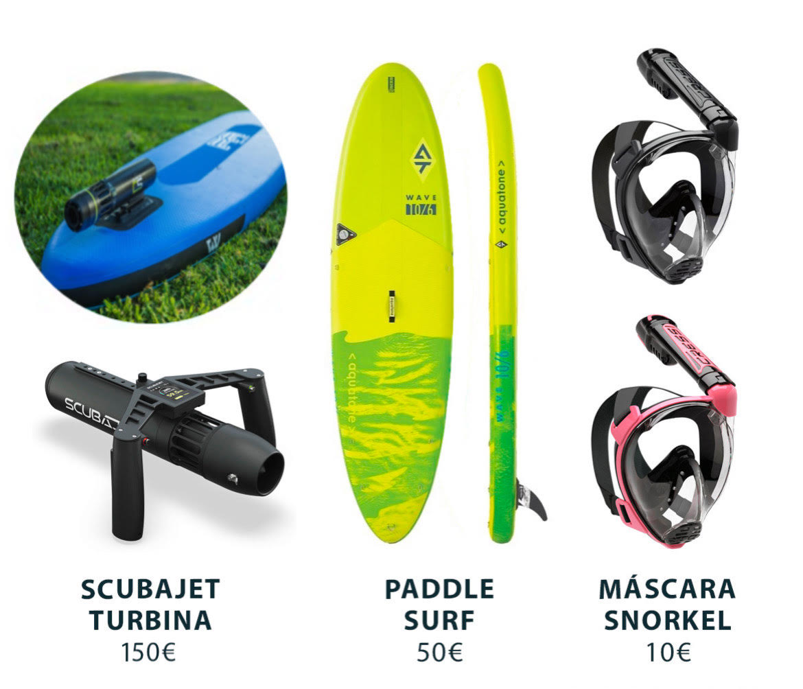
PADDLE SURF RENTAL
Discover the secret corners and beaches of Menorca!


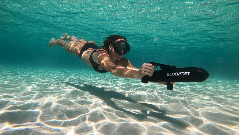
RENT SCUBAJET
Explore the seabed with the Scubajet thruster. Expand your possibilities of use by motorizing your paddle surf.
Cala Pregondó in Menorca, how to get there?
The fastest way to get to Pregondó is by car. car to Benimel-là Beach (which you will find, at about 10 km, taking the road from the town of Es Mercadal).
Once there, you will have to continue the route on foot, joining the Camí de Cavalls for approximately 1.5 km in a W direction. Follow the signposted route so as not to damage the environment and avoid entering private roads.
Before you know it, you will be enjoying the beautiful views that Cala Pregondó has to offer.

Services near Cala Pregondó
NO NEARBY SERVICES*.
*We consider them “close” if they are within a radius of 250-300 m approx.
What to see near Cala Pregondó?
The nearby passage of one of the stages of the Camí de Cavalls along the coast, encourages hiking. Visiting the nearby beaches and points of interest is undoubtedly a good plan to carry out (after, of course, having enjoyed a swim in its waters).
We can do the stage from Binimel-là to Cala Tirant or, if we prefer something simpler, we cannot leave the area without a visit to Pregonda, just 500 meters away.
On the other hand, for photography lovers, this beach offers film-like landscapes. When dusk arrives and the sun begins to set, the magic hour arrives and what do you want us to tell you? In Cala Pregondó this hour is truly magical: the tranquility that reigns in the place when it begins to empty, the sound of a calm sea, the pink colors of the sky reflected in its turquoise waters, the reddish of its sand that seems to become fire and, if we are lucky, the vision of Cavallería’s lighthouse lighting up…
An unspeakable sight that, fortunately, will be engraved in your retina forever.
How to get to Cala Pregondó by boat?
To access the cove of Pregonda-s’Alairó, we must leave our boat from the port of Mahón heading SE, leaving the dock to starboard. We will continue through the port until we reach the open sea (up to Punta de Sant Carles).
At this point, we will leave the San Carlos lighthouse to starboard, and continue to port along the coast (heading NE) where we will pass La Mola and Punta de S’Espero, to continue in a NW direction (always sailing with the coast to port).
We will pass Cap Negre, Punta de Sa Galera and, finally, Punta de sa Cudia. On the port side we will see an inlet that leads to Es Grau and in front we will have Illa d’en Colom. We will have to overcome it leaving it on the port side and continue in a NW direction until we pass the Cap de Mossen Vives and the Escull den Tortuga. From the bow we will see the Cap de Favàritx and its unmistakable lighthouse.
Skirting the Favàritx point, we will sail in a NW direction until we see the Addaia islands. We will pass them on the port side and continue until we reach Punta Pantinat.
We will go around it, and advance in a NW direction (passing Punta de na Guillemassa and Punta des Morter) until we reach Cap de Cavallería. We will border it passing between Illa d’els Porros (which will be on the starboard side) and Illot des Pas (which will be on the port side).
Once we have passed the channel between the two, we will descend in a SW direction until we can see the coastline on the bow, where Cala Pregonda is located. To reach it we will have to pass between the Esculls de Pregonta and the Escull de Sa Nau.
We will pass between them and, on our port side, heading SE we will see our beach.
Do you want to go to Cala Pregondó by boat?


