Cavallería Beach
The big reddish
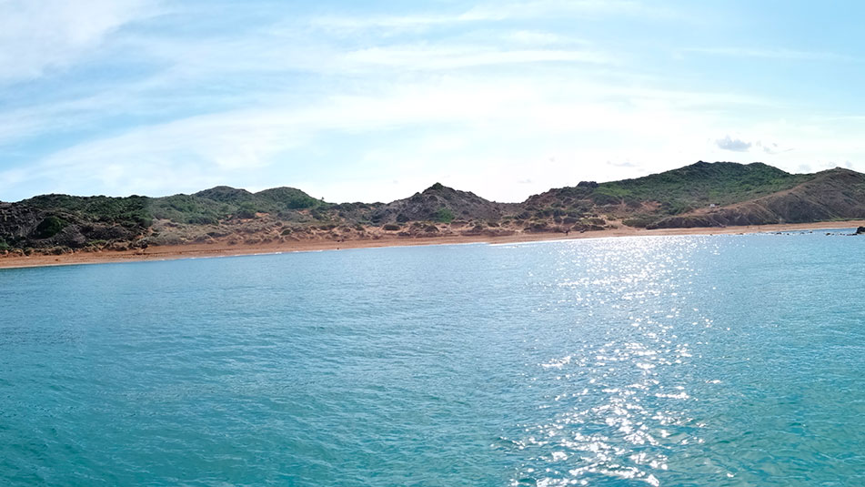
Cavallería is one of the most famous, visited and appreciated beaches of the Minorcan island. Its landscape of intense reddish color (due to its clay soils), contrasts with the more typical white beaches of the south.
Among the characteristics of Cavallería, it stands out for its width, almost 500 meters long, the small hills that surround the place and its sandy area of wide dunes that extend inland (and in which its “fossil dunes”, ancient petrified dunes through which the sand circulates, are especially striking).
In the center of the cove, we can see the Escull de Ferragur, which divides the cove into two halves.
This is a quiet beach, as long as it does not blow tramontana, suitable for all audiences, including families with children (yes, in this case it is important to know in advance that, to reach it, you have to go down some uncomfortable stairs that can be a little problem if we are loaded with too much stuff).
For surf lovers, Cavalleria is a perfect place on days when the north winds blow.

Sand. Open to the NW.Name: Playa de Cavalleria (or Platja de Cavalleria)
Location: North Zone III (40°3.616’N 4°.505’E)
Distance from Mahón: 24’33 MN ; 31 km
Time from Mahón: 1h and 50 min by boat (average speed: 15 knots); 32 min by car
Type of beach: Sand
Anchoring with boat: Sand. Open to the NW.
Danger access by boat: Low
Posidonia: No
Nearest gas station for boats: 6 MN; Port of Fornells
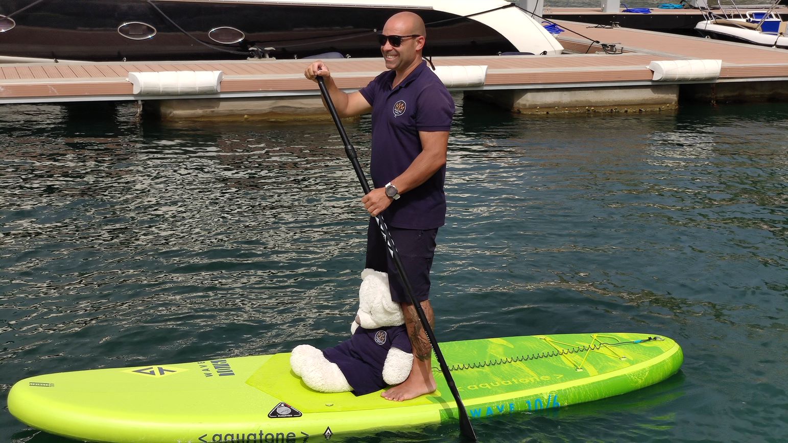
PADDLE SURF RENTAL
Discover the secret corners and beaches of Menorca!
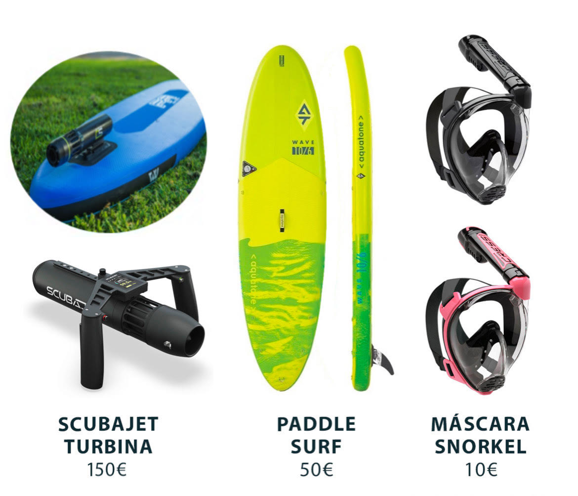
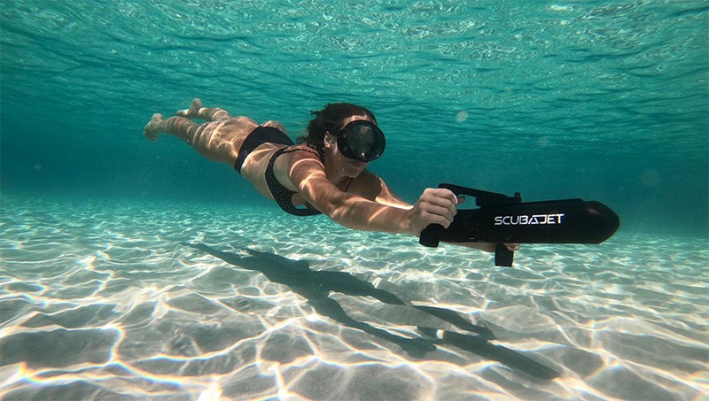
RENT SCUBAJET
Explore the seabed with the Scubajet thruster. Expand your possibilities of use by motorizing your paddle surf.
SERVICES

PARKING

WALK 400 m
FONDEADERO

PARKING LOT RESTROOMS
Cavallería beach in Menorca, how to get there?
Another great advantage of Cavallería is that it is a beach where access is relatively easy. There is a parking lot next to it where we can park and, from there, “only” have to go 400 meters to access its waters. It is important to follow the signposted path and not to leave the wooden walkways, expressly arranged to prevent erosion of the terrain.
To get there by road, we will have to leave Mahón by Ronda de Maó, and take the Me-7 to Camí de Tramuntana. We will continue along this road until we find a detour to the right that will take us along the Camides Far road.
On the left we will find the road that will lead us to the parking of Cavallería.
Of course, there is also the possibility of reaching Cavallería by the Camí de Cavalls from different points of the island. Stage 5, which runs from Cala Tirant to Binimel-là, passes in front of this beach.

Services near Cavalleria beach
NO NEARBY SERVICES* (except a WC in the parking lot)
*We consider them “close” if they are within a radius of 250-300 m approx.
What to see near Cavalleria beach?
Stepping on the beach itself and bathing in its waters is attractive enough to encourage us to visit it, but if we want any other activity, the Camí de Cavalls is always there for us.
The stage of its route that goes from Cala Tirant to the beach of Binimel-là, passes through Cavallería. So if we do the whole stage (about 10 km on foot and almost 3 hours of walking), we can make a stop on our journey to visit this beautiful beach and, if we start our way in Cavallería itself, we can decide to go in one of the two directions to visit the adjacent coves and nearby points of interest: the Roman city of Sanitja with its defense tower and its cove, the beaches of Cala Mica… and, of course, the lighthouse of Cap de Cavallería that should be an obligatory stop on our travel route.
How can we get to Cavalleria beach by boat?
To get to Playa de Cavallería by boat, we will have to leave the port of Mahón in a SE direction, leaving the dock to starboard. We will continue through the port until we reach the open sea (up to Punta de Sant Carles).
At this point, we will leave the San Carlos lighthouse to starboard, and continue to port along the coast (heading NE) where we will pass La Mola and Punta de S’Espero, to continue in a NW direction (always sailing with the coast to port).
We will pass Cap Negre, Punta de Sa Galera and, finally, Punta de sa Cudia. On the port side we will see an inlet that leads to Es Grau and in front we will have Illa d’en Colom. We will have to overcome it leaving it on the port side and we will continue in NW direction until we overcome the Cap de Mossen Vives and the Escull den Tortuga. From the bow we will see the Cap de Favàritx and its unmistakable lighthouse.
Skirting the Favàritx point, we will sail in a NW direction until we see the Addaia islands. Leaving them to port, we will continue until we reach Punta Pantinat.
We will skirt it, and sail in a NW direction (passing Punta de na Guillemassa and Punta des Morter) until we reach Cap de Cavallería. We will border it passing between Illa d’els Porros (which will be on the starboard side) and Illot des Pas (which will be on the port side).
Once past the channel between the two, we descend in a southerly direction, leaving Cap d’es Vernis on the port side. Following the coastline of this cape in a southerly direction, we will find Cala Roig on the port side and, just below, Platja de Cavallería.
Do you want to go to Playa de Cavallería by boat?

